Uses animation, wave tank, live-action photography, and underwater models to show how waves develop, how coastlines are shaped, and to describe the forces that change the sea bottom.
It shows the Neretva river from its source to the shores of the Adriatic Sea. The document also captures the original four-hundred-year-old bridge in Mostar.
This short-length documentary takes us to Agadir, a city in Morocco that was struck by an earthquake in 1960. The film, made by an expatriate Moroccan who lost family and friends in the disaster, is a memorial to that tragedy and to the past he left behind when he came to North America. Partly allegorical, it employs varying techniques to offset reality from fantasy sequences.
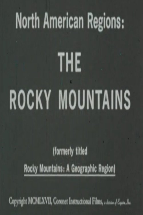
Presents a geographic overview of the Rocky Mountain region. Discusses the significant role that this region of natural resources has played in the development of the continent
Explores the distinctive features of the major rivers of the continent, and discusses their contributions to the farming, recreation, transportation and hydroelectric power of North America.
Physical features such as gulf, peninsula, island, etc, are defined and basic principles of using colors to show elevation are illustrated with models.
Through animation, maps of the same scale and projection are combined to show relationships between natural features of the earth, human use, and social and political features. Projects different kinds of animated maps of the same scale and explains how the maps are used in gaining an understanding of the relationships between the social, political, and natural features of the earth.
Travel across Vietnam on a breathtaking cultural and historical journey. Uncover ancient Chinese influences on Vietnamese traditions and striking examples of French Colonial architecture, and trace the impact of the Vietnam War in the north and south. Visit the country’s lively modern cities, taking in temples, floating markets, and the world heritage sites of Huế and Ha Long Bay.
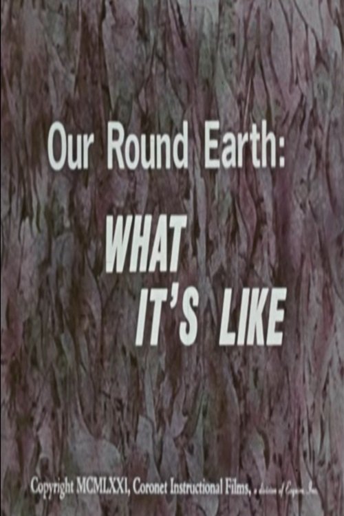
Views of the earth from the ground, from a plane and from a space ship show major features of the land, the oceans and the atmosphere.